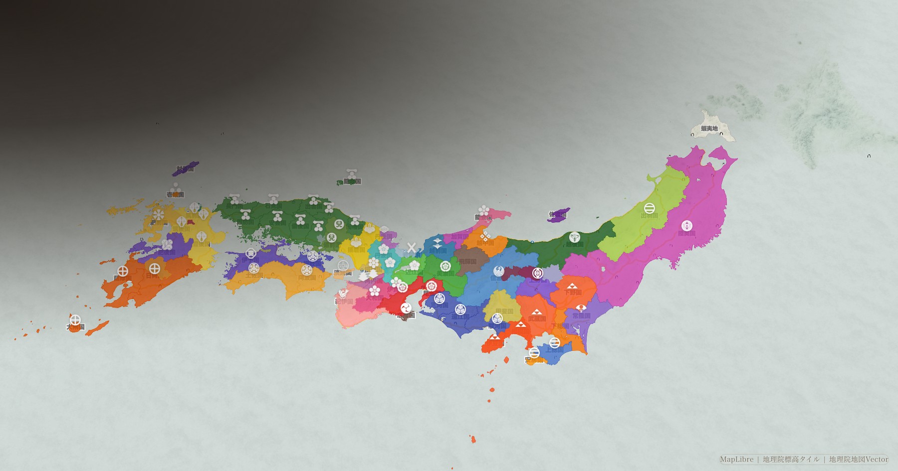







Sengoku Warlords Territory Map
1540 — 1615
Follow who held what, year by year, from 1540 to 1615 — province by province and district by district.
Start from a turning point
- 1543 Arrival of firearms Matchlocks reach Tanegashima
- 1560 Battle of Okehazama The fall of Imagawa Yoshimoto
- 1573 Fall of the Muromachi shogunate Ashikaga Yoshiaki driven from Kyoto
- 1582 Honnō-ji Incident The death of Oda Nobunaga
- 1600 Battle of Sekigahara The realm divided
- 1615 Siege of Osaka The Sengoku era ends
Japanese Castle Map
1,385
1,385 castles across Japan, browsable by prefecture and by castle. Keeps still standing, stone walls alone, and sites where only the ground remains.
Find a castleAbout this site
Control of each province and district in the Sengoku period has been turned into year-by-year data and placed on the map.
Read as a list of dates, history tells you what happened and where. It does not show you how power moved. A map does that at a glance.